
What Strong Motion Records Actually Capture
Strong motion records come from instruments that sit in the ground or on structures during an earthquake. They track how fast the ground accelerates, how velocity changes over time, and the amount of displacement that occurs. The main number most engineers watch is peak ground acceleration, but the full waveform shows the frequency content and duration of shaking as well.
A record from a site with firm soil will look different from one on soft clay even for the same earthquake. The soft site often stretches the motion into longer periods that can affect taller buildings more. Engineers compare multiple records from the same event to see how distance from the fault and local geology alter the shaking.
Feeding Records into Structural Models
Once a record exists, it enters computer models of proposed buildings. In simple cases the engineer converts the record into a response spectrum that shows how much a single-degree-of-freedom system would move at different natural periods. That spectrum then sets the lateral forces used in equivalent static design.
For more complex structures the actual time series drives a step-by-step analysis. The model steps through each fraction of a second, applying the recorded accelerations to the base while the building sways, twists, and perhaps yields. This approach reveals whether a particular beam or wall will reach its limit during that specific shaking history.
Some offices keep libraries of records scaled to match the expected hazard at a site. They run the same building through several different records so the design team can see which elements are sensitive to one type of motion and which are not.
Shaping Building Codes Around the Globe
Seismic sections of building codes rely on maps that show expected ground motion levels derived from collections of past records. Those maps divide a region into zones where the design acceleration is set at a level that recorded events have approached or exceeded.
The same records help define response modification factors. These factors let designers reduce the forces they apply on paper because they accept that the structure will deform and absorb energy. The values come from observations of how real buildings performed when the recorded motions were strong enough to cause damage.
Over time, code writers adjust the numbers when new records show higher accelerations or different frequency content than earlier assumptions allowed. The changes appear first in regions that have collected the most data and then spread to places with fewer instruments.
Difficulties When Old Records Meet New Designs
A record taken decades ago may come from a site whose soil profile no longer matches the one at the new project. Even small differences in water table or layering can change how the motion travels upward. Engineers therefore scale or modify the record, yet the adjustment always carries some uncertainty.
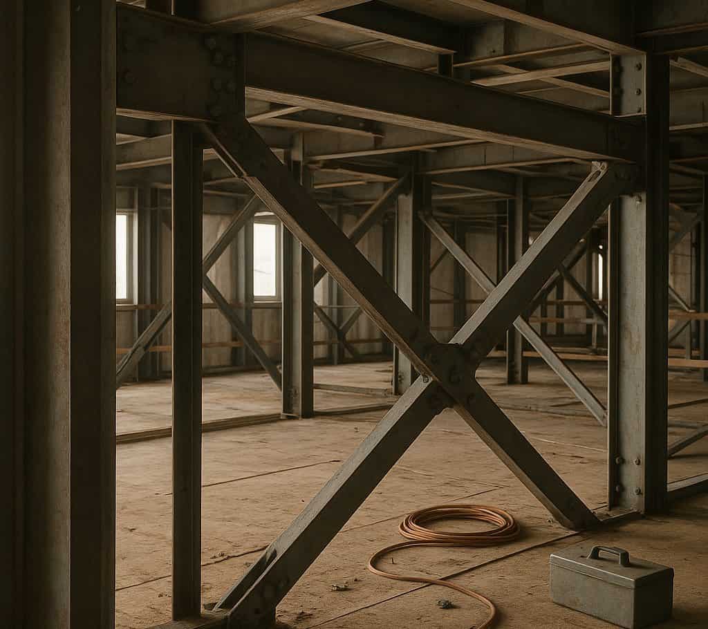
Modern buildings often use materials and connection details that did not exist when the older records were made. A steel frame with reduced beam sections behaves differently from one built with riveted joints. Applying an old record directly can miss how those newer details concentrate or distribute damage.
Records also tend to cluster around events that happened near instrumented cities. Earthquakes on faults that have not produced a large recorded event leave gaps in the library. Designers working in those areas must either use records from somewhat similar settings or rely more on simulated motions whose accuracy is still being checked against the limited field data.
Another practical issue appears when the duration of shaking matters. A record from a moderate event may be short, while a rare large earthquake on the same fault could last much longer. Longer shaking allows more cycles of loading, which can fatigue connections even if the peak acceleration stays within the design value.
Engineers therefore test several candidate records and sometimes lengthen them artificially. They watch how cumulative damage indices rise with extra cycles and adjust member sizes or detailing accordingly. The process stays approximate because no single past record exactly matches the combination of magnitude, distance, and site condition expected at every new location.